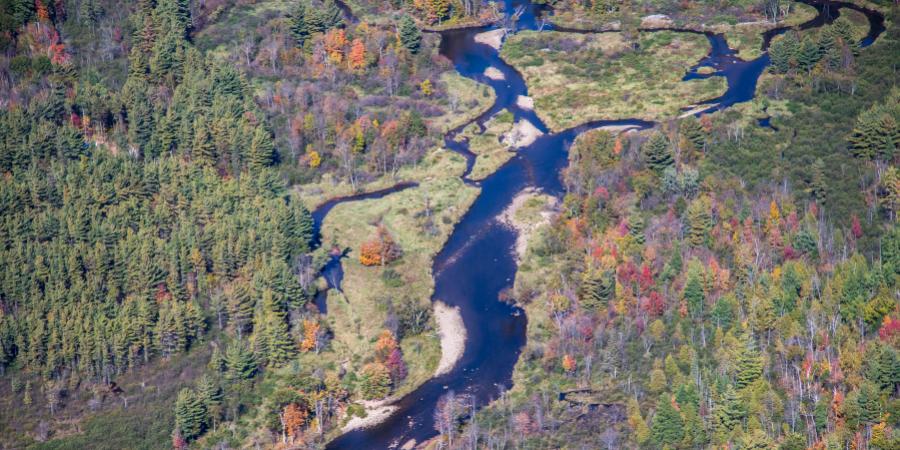
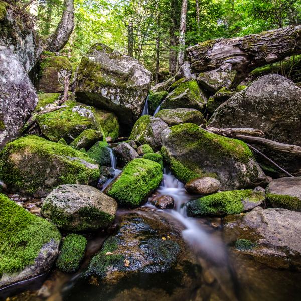
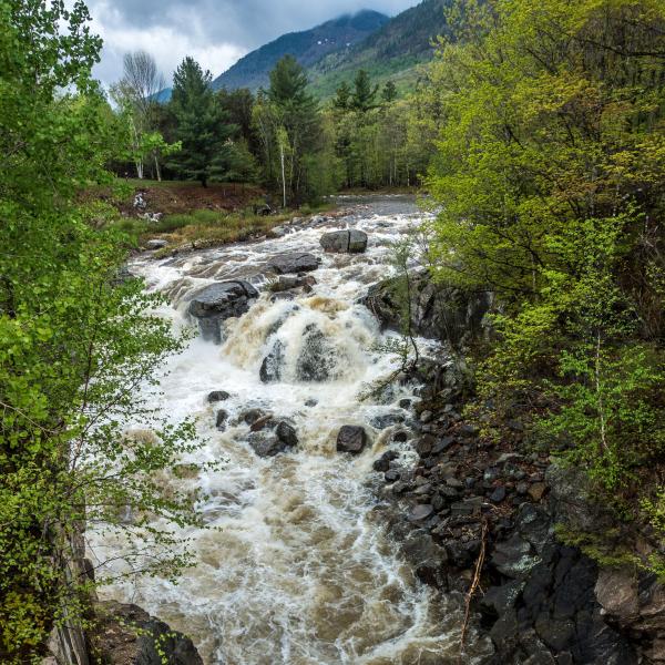
The magnificent scenery, ecological diversity, and clean waters of the Ausable River make it a jewel of the Adirondack region of New York State. Coursing down from the state's highest mountain peaks, plunging over waterfalls and through steep bedrock gorges and then meandering through valley lowlands, the river creates extensive wildlife habitat, hardy forests, fertile valleys, and stunning landscapes before it empties into Lake Champlain. Diverse human communities scattered throughout the 512-square-mile watershed owe their economic vitality – past and present – to the river's health and resilience. Today, the watershed is a destination for world-class trout fishing, wilderness hiking, rock climbing, white-water recreation, and many winter sports, including downhill, backcountry, and cross-county skiing.
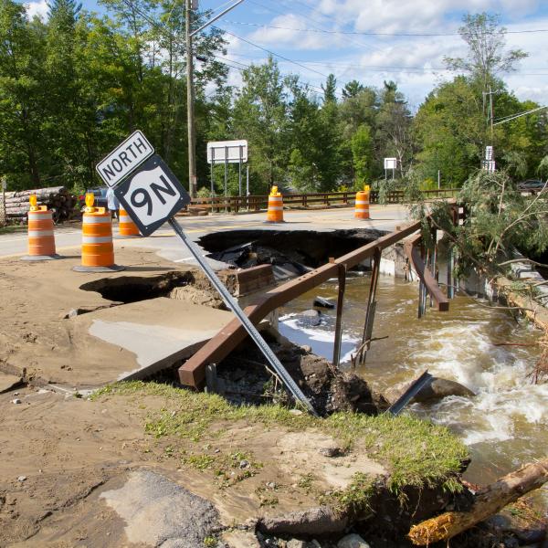
Nevertheless, the Ausable River and its watershed face serious challenges - measures of water quality show increasing levels of chloride from winter deicing, phosphorus from septic discharges, and other pollutants; miles of river bank are incised and deeply eroded leading to increased sediment loads that can smother delicate aquatic ecosystems or damage roads and property; terrestrial and aquatic invasive species continue to gain ground; and aging infrastructure blocks passage of fish and aquatic organisms and exacerbates road and property damage in flood conditions.
While important ecological functions, public uses, and recreational services remain intact, the Ausable is a river on the edge. How it fares in the future relies on whether we can recognize where the problems lie, understand their sources, and work cooperatively to find solutions that benefit the river, the natural resources of the watershed, and the human communities that live, work, and play here.


